
No, you cannot see inside a house on Google Maps. The question “can you see inside a house on Google Maps” comes up often, and the honest answer is simple: Street View shows the street, the drive, and the front of the house, but it never shows the rooms inside. The tool is useful, if you know where to look.
Can You See Inside a House on Google Maps? The Short Answer Is No
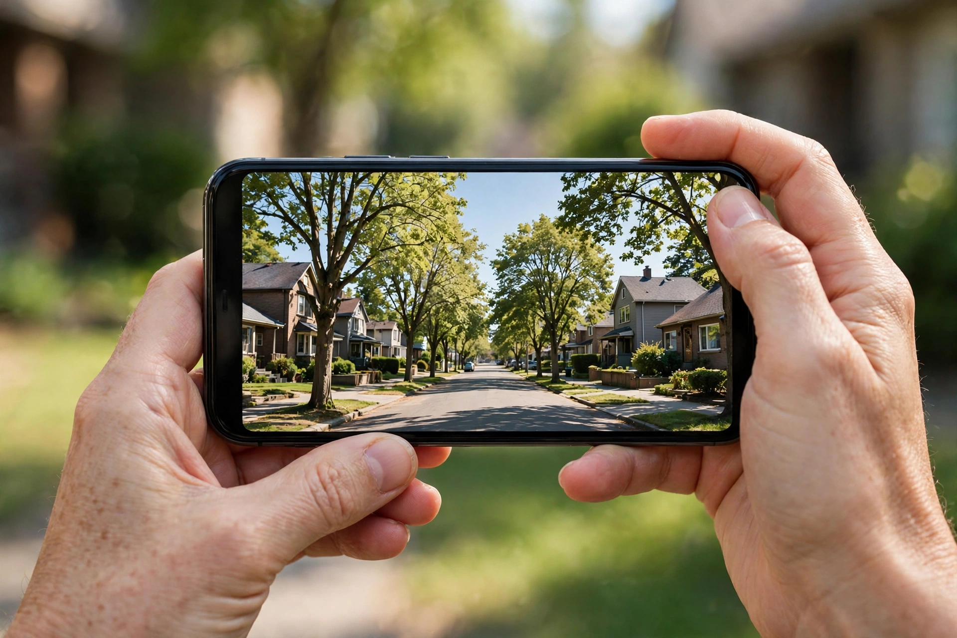
Google Maps is built for the outside world. Its Street View cars drive along public roads and take photos of what they pass. They capture the front garden, the driveway, the roofline, and the street. They never enter a home, and they never point a camera through a window on purpose.
That limit is not an accident. Google blurs faces and number plates in Street View, and it will blur a whole house if the owner asks. Privacy is part of the design. So the inside of a private home stays private, even when the outside is on public view.
This surprises many buyers. After all, you can walk through shops and museums on Street View. Some restaurants and hotels invite Google inside to photograph their rooms. But those are businesses that asked for it. A private home is different, and no owner can be forced to open it to a camera car.
So if you hoped to peek at the kitchen before a viewing, Google Maps will not help. But it can still tell you a lot about the street, the area, and the house itself. The rest of this guide shows you how.
What Street View Actually Shows
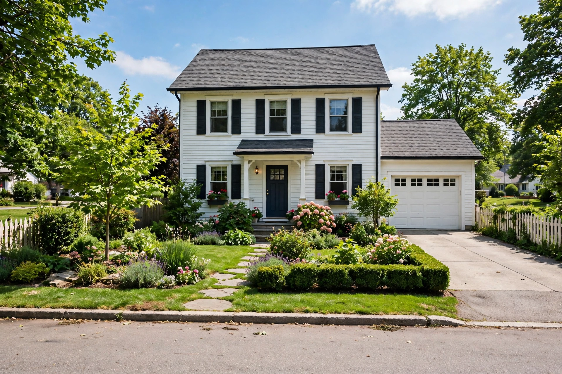
Street View shows more than most people use. Start with the house itself. You can see the roof, the walls, the windows, and the front door. Look at the paint and the brickwork. Peeling paint or cracked render can hint at care, or the lack of it. Check the gutters and the roofline, too. A sagging gutter is easy to spot from the street.
Next, look at the garden and the drive. Is the garden tidy or overgrown? Does the drive fit one car or two? Is there a fence, a hedge, or an open front? These details tell you about privacy and parking, and they rarely appear in listing photos.
Then look at the street. Street View lets you move along the road in both directions. Check the neighbours’ houses. Are they well kept? Is there a busy junction nearby? Look for parking pressure, too. If every car sits on the pavement, parking is tight.
Also, check the date of the photos. Street View shows when each image was taken, usually in a small label. A photo from three years ago may show a house before a new extension or a new road. Always check the date before you trust what you see.
Finally, use the satellite view as well. It shows the roof, the garden, and the plot from above. You can see how big the garden is and whether a large tree shades the house. Together, the street and satellite views give you a fair picture of the outside.
If you have never used Street View, Google’s own guide to using Street View shows how to move along a street and switch to the satellite view.
What About Google Earth?
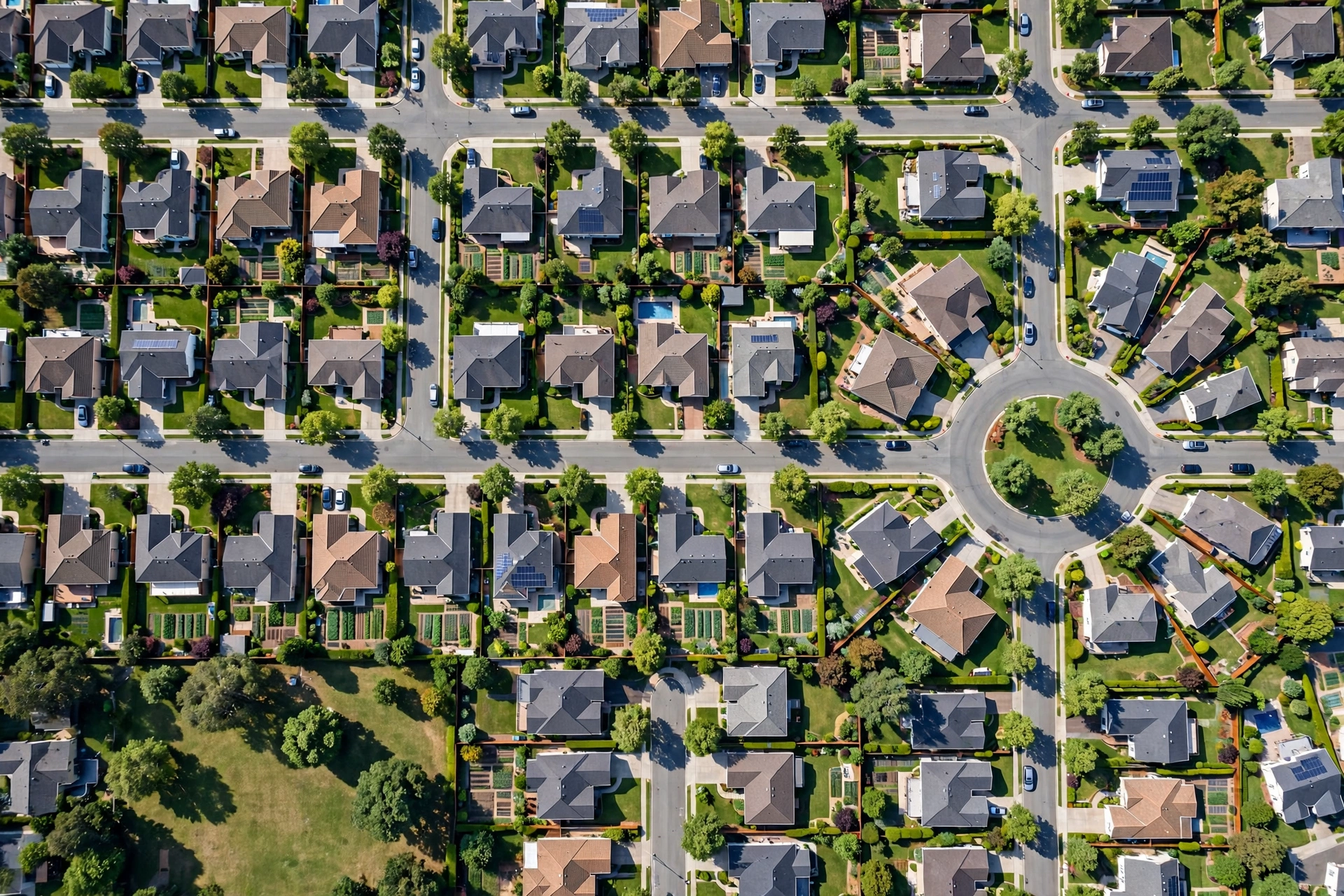
Google Earth uses the same photos as Google Maps, so it has the same limit. You can zoom into a rooftop and see the garden from above, but you cannot see through the roof. The inside stays hidden.
But Google Earth adds two useful tools. First, the 3D view shows the shape of the land. You can see if the house sits on a hill or in a dip. A house in a dip can suffer from damp, and a house on a hill can catch more wind. Second, the timeline tool lets you look at older satellite photos. You can see how the area changed over the years.
Neither tool shows a living room. But both help you judge the plot, the slope, and the area. Use them with Street View, and you will know the outside well before you visit.
A Worked Example: One House, Three Views
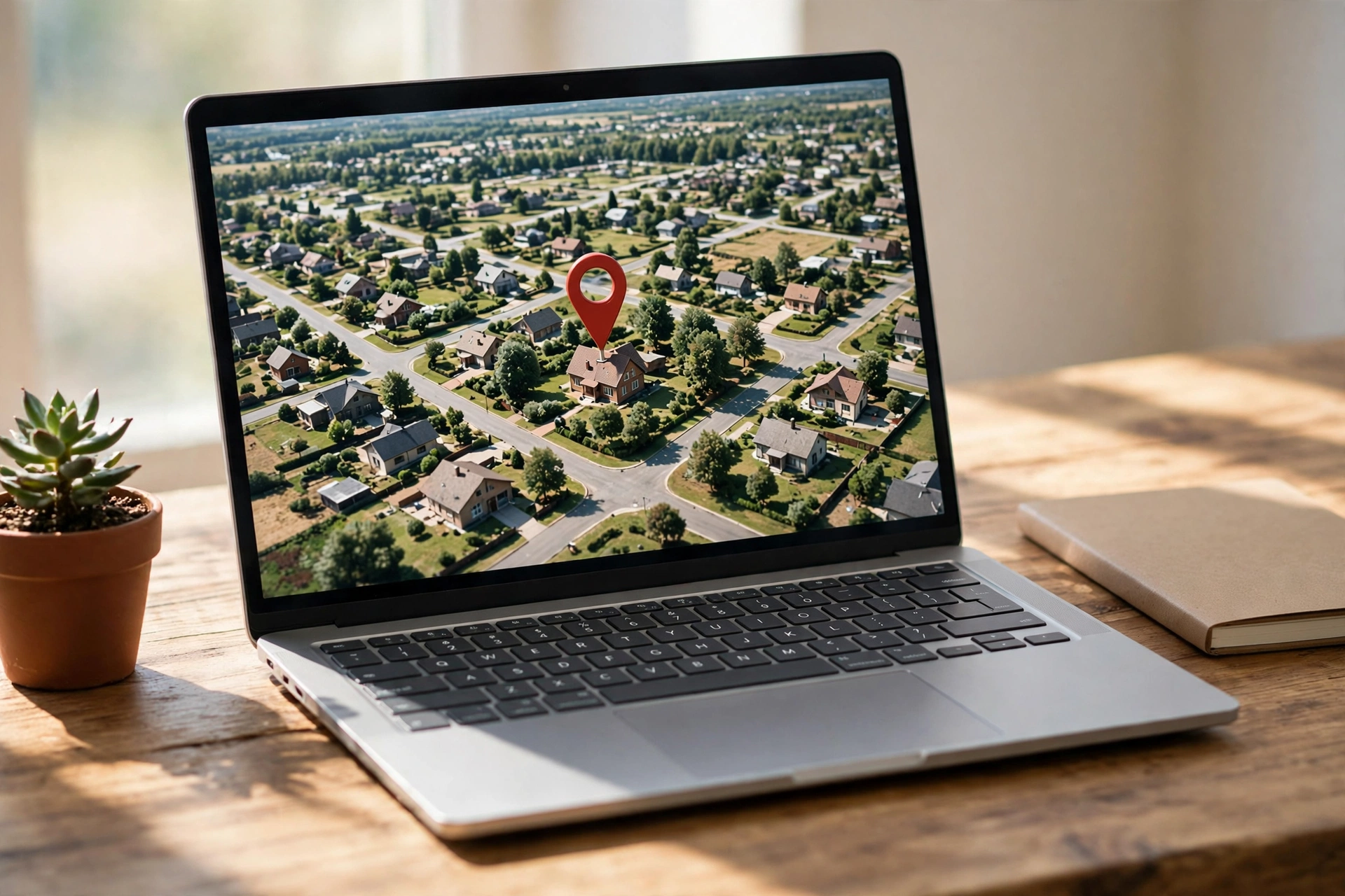
A worked example shows how these tools fit together. Take a typical listing: a three-bed semi-detached house with a front garden, a drive, and a back garden listed as 40 feet long.
First, open Street View and drop the pin on the street outside. You see a tidy front garden, a drive that fits one car, and a front door with a small porch. The brickwork looks clean, and the windows are new. The street is quiet, with cars parked on one side only. So far, so good.
Next, switch to the satellite view. From above, the back garden looks shorter than the listing claims. It measures about 30 feet, not 40, and a large tree at the end shades half of it. The roof looks fine, with no missing tiles. But a small extension at the back sits close to the fence, which may matter for light.
Then check the listing photos for the inside. The living room looks bright, and the kitchen looks new. But the photos show no bedroom sizes, and the third bedroom appears in only one shot. If you want to judge whether a double bed fits, our guide to master bedroom dimensions shows the space a standard bed needs.
This example shows the pattern. Street View checks the street and the front. Satellite checks the plot and the roof. Listing photos check the rooms. No single tool does it all, and Google Maps only covers the outside.
Where to Look Instead
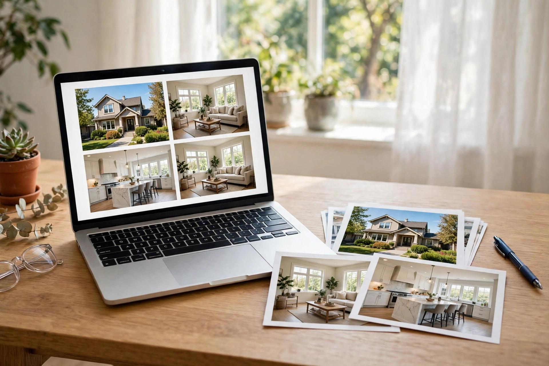
Since Google Maps cannot show the inside, you need other tools for the rooms. The table below lists what to use and what each tool gives you.
Where to look instead of Google Maps
| What you need | Best tool | What it shows |
|---|---|---|
| The rooms | Listing photos | Layout, light, and finish |
| The layout | 3D home tour | Dollhouse and floor-plan views |
| The street | Google Street View | Front, garden, and neighbours |
| The plot | Google Earth satellite | Roof, garden size, and slope |
| The area | Google Maps | Shops, schools, and commute times |
| The price | Listing sites | Price history and nearby sales |
Start with the listing photos, then open a 3D tour if one exists. A tour shows the layout in a way photos cannot. For a full guide to online viewing, read our post on how to see the inside of a house online, which walks through every tool in order.
Also, check the area on Google Maps. Search for the nearest shops, schools, and train station. Then check the commute time to your work at rush hour. A house can look perfect and still sit an hour from everything you need.
Finally, look at the price history on listing sites. Many sites show past sale prices for the same house. A big jump in price may mean a recent renovation, or it may mean the seller is hopeful. Either way, the history gives you context for your offer.
How to Check a House Online, Step by Step
A clear order saves time. Follow these steps for any house you like, and you will know within half an hour whether it deserves a visit.
First, read the listing in full. Note the room sizes, the garden length, and the number of bathrooms. Then open Street View and check the front, the street, and the neighbours. Look at the date of the photos as you go.
Next, switch to the satellite view. Check the garden size, the roof, and the slope of the land. Then look at the listing photos for the rooms. Count the photos per room. A room with one photo may hide a flaw.
Also, open a 3D tour if the listing has one. Walk it slowly, and measure the walls that matter. If you want help placing furniture in the rooms you see, our guide to small living room layout shows how a sofa, a TV, and a table fit without crowding the room.
Finally, check the area. Look up the commute, the schools, and the shops. Then write down what is still unknown. That list becomes your checklist for the real visit. If the unknowns are small, book the visit. If they are large, move on.
Common Mistakes When Checking a House on Google Maps
Most buyers make the same few mistakes with Google Maps. Each one is easy to avoid once you know it. Watch for these four, and the tool will serve you far better.
First, many buyers trust old photos. Street View images can sit unchanged for years, and a street can change a lot in that time. A new block of flats, a closed shop, or a fresh road layout will not show up. Always check the capture date in the corner of the image. If the photo is more than two years old, treat it as a rough guide only.
Second, buyers judge a house by its front alone. The front can look neat while the back tells another story. A small back garden, a tall fence, or a neighbour’s extension can change how the house feels. So always switch to the satellite view and look at the back. Check the garden size, the roof, and how close the next house sits.
Third, buyers forget the commute. A house can sit near a station on the map and still take an hour to reach work. Roads clog at rush hour, and a short drive can turn into a long crawl. So check the route at 8 in the morning, not at noon. Google Maps lets you set the time, and the answer is often very different.
Finally, buyers trust the listing more than the map. A listing may call a garden “large” when the satellite view shows a small patch of grass. It may call a street “quiet” when the map shows a main road one block away. So compare every claim with what you see. When the map and the listing disagree, trust the map and ask the agent why.
Frequently Asked Questions
Can Google Maps show the inside of a house?
No, it cannot. Street View only shows the outside of private homes, from the public road. It never enters a house, and it never films through windows on purpose. Some businesses invite Google inside, but private homes stay private. Use listing photos and 3D tours for the rooms instead.
Can I see inside a house on Street View?
No, not a private house. Street View cars drive on public roads and photograph the street and the front of each home. They do not show bedrooms, kitchens, or living rooms. The “See Inside” feature exists only for businesses that asked Google to photograph them, such as shops and restaurants.
How do I see the inside of a house online?
Use the listing photos first, then a 3D home tour if one exists. A tour lets you walk through the rooms and check the layout. You can also ask the agent for a live video call, where they walk the house while you watch and ask questions. Our guide to seeing a house online explains each step.
Is Google Earth better than Google Maps for houses?
Not for the inside. Google Earth shows the same outside views, but it adds a 3D view of the land and older satellite photos. It helps you judge the plot, the slope, and how the area changed. For rooms, it has the same limit as Google Maps, so use listing photos and tours.
How old are Google Street View photos?
It varies by street. Some streets are photographed every year, while quiet roads may go years between visits. Each Street View image shows its capture date, so check it before you trust the photo. A three-year-old image may show a house before a new extension or a changed road.
Can I ask Google to blur my house on Street View?
Yes, you can. Google lets owners request blurring of their home, their car, or their face in Street View. You make the request through the “Report a problem” link on the Street View image. Google reviews the request and blurs the house in future views.
Conclusion
Google Maps cannot show you the inside of a house, and that is by design. Street View covers the street, the front, and the garden, while the rooms stay private. But the tool still earns its place. Check the street, the neighbours, the garden, and the roof, then use listing photos and 3D tours for the inside. Follow these steps, and you will know a house well before you ever stand in it. Your next step is simple: open Street View for a house you like, and see what the outside tells you.